
3D Laser Scanning & Mobile Mapping
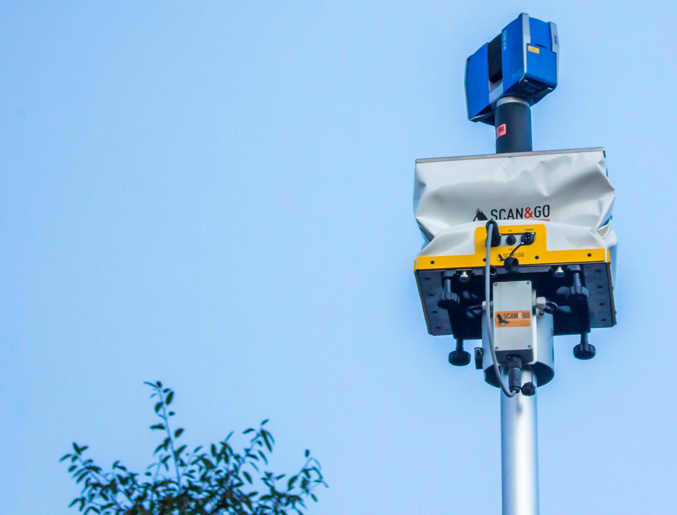
Scan & Go System
A topographic survey system combining a laser scanner, two GPS receivers, and a target on a vehicle or lifting platform. It brings individual scans into a shared three-dimensional reference system.
Contact QuantumLabCapabilities
- Laser scanning combined with GPS positioning
- Vehicle-mounted topographic survey workflow
- Two GPS receivers and a target
- Elevated scanning using a Level Lift Roof
- Individual scans in a common reference system