
QuantumLab Geosolutions
Your Partner
in Precision.
Quality surveying instruments
& geospatial solutions.
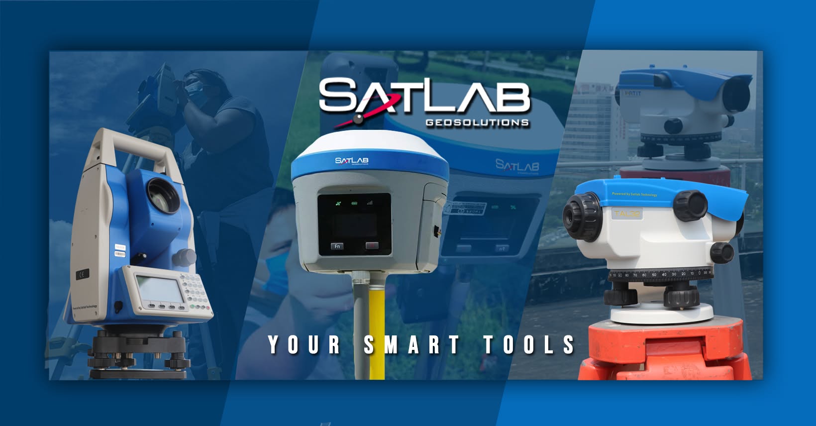
Explore surveying services and instruments for understanding land, capturing spatial information, and supporting work on the ground.
01 / Latest updates
From QuantumLab.
News and updates from our Facebook page.
Open on Facebook
Facebook update 2
QuantumLabOpen on Facebook
Facebook update 3
QuantumLab02 / Our services
A precise view.
At every scale.
Scroll to explore, or choose a service.
Skip services
Focused measurement for complex sites, structures, and terrain.
Explore service
Connect imagery and spatial data to understand the wider landscape.
Explore service
Understand boundaries, parcels, and site development requirements.
Explore service
Measure terrain, infrastructure, and waterways for engineering work.
Explore service
Support layout, alignment, and monitoring throughout construction.
Explore service01 / 05Specialized SurveySelect a title to navigate
03 / Instruments
Tools for the task.
Discover the equipment and capabilities in our instrument catalog.
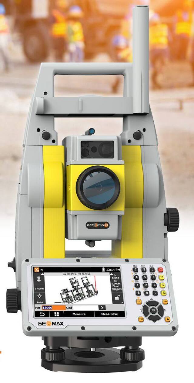
Total Stations
Geomax ZOOM 95
A robotic total station for surveying and construction work, with one-person operation, reflectorless measurement, and automated prism tracking.

GNSS/RTK Receivers
Hi-Target vRTK
A GNSS receiver with a dual-camera system for image measurement and stakeout. IMU tilt compensation supports field data collection for land surveying, site layout, GIS, and ground control points.
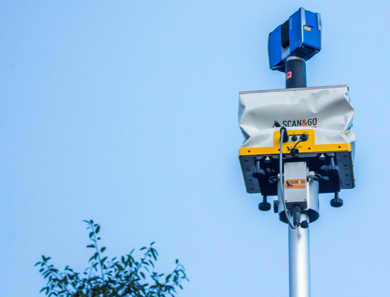
3D Laser Scanning & Mobile Mapping
Scan & Go System
A topographic survey system combining a laser scanner, two GPS receivers, and a target on a vehicle or lifting platform. It brings individual scans into a shared three-dimensional reference system.
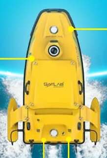
Hydrographic Surveying Equipment
Satlab HydroBoat 1500
An unmanned surface vessel for hydrographic and bathymetric surveys. Autonomous navigation and configurable sonar or environmental-sensor payloads support data collection in difficult-to-reach waters.
04 / Contact
Let’s connect.
Talk with QuantumLab about surveying instruments and geospatial services.
Telephone+63 000 000 0000Emailquantumlab.demo@example.com
Visit usDemo address only — 123 Sample Street, Quezon City, Philippines