QuantumLab / Instruments
Tools for the task.
Explore surveying and geospatial equipment. Select an instrument to see its capabilities and specifications.
4 instruments in the catalog
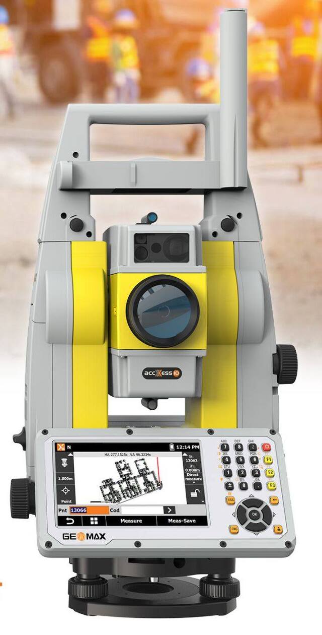
Total Stations
Geomax ZOOM 95
A robotic total station for surveying and construction work, with one-person operation, reflectorless measurement, and automated prism tracking.

GNSS/RTK Receivers
Hi-Target vRTK
A GNSS receiver with a dual-camera system for image measurement and stakeout. IMU tilt compensation supports field data collection for land surveying, site layout, GIS, and ground control points.
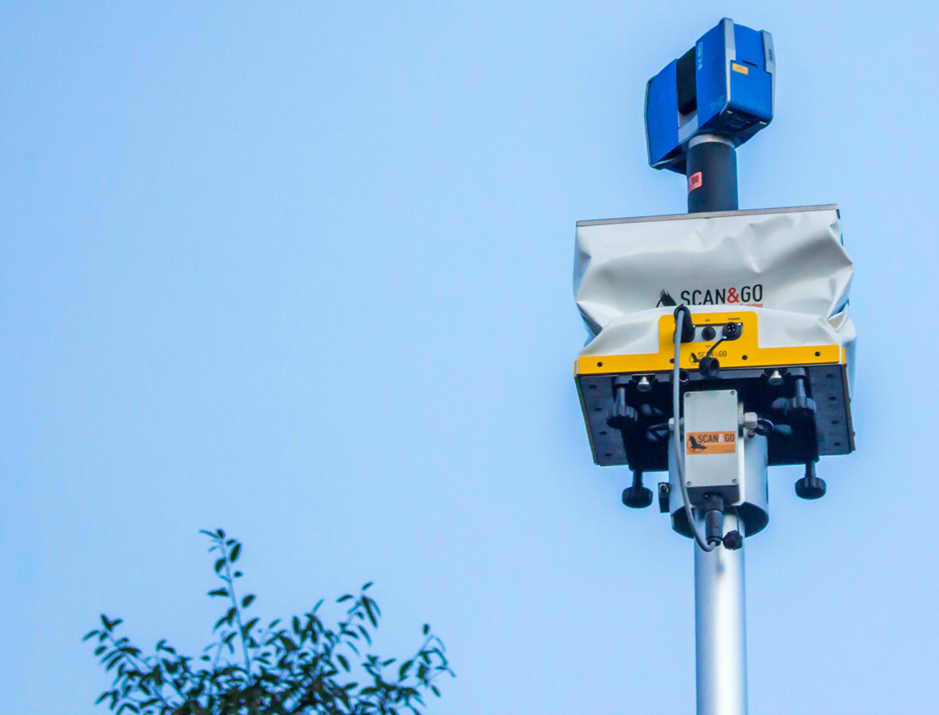
3D Laser Scanning & Mobile Mapping
Scan & Go System
A topographic survey system combining a laser scanner, two GPS receivers, and a target on a vehicle or lifting platform. It brings individual scans into a shared three-dimensional reference system.
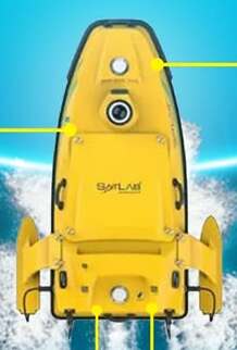
Hydrographic Surveying Equipment
Satlab HydroBoat 1500
An unmanned surface vessel for hydrographic and bathymetric surveys. Autonomous navigation and configurable sonar or environmental-sensor payloads support data collection in difficult-to-reach waters.