All services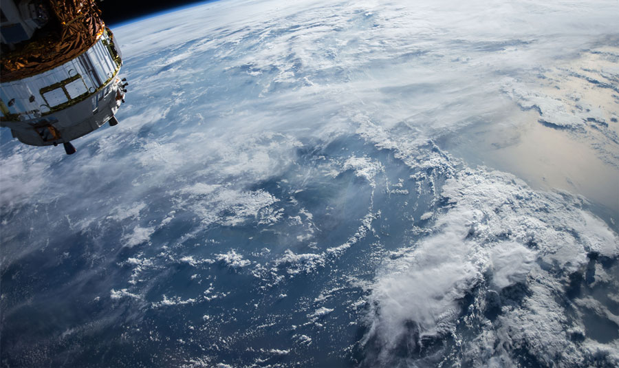
Our services
Geomatics Engineering Services
Connect imagery and spatial data to understand the wider landscape.
About this service
Geomatics combines satellite imagery, geographic information systems, and airborne mapping. These approaches bring spatial information together for surveying and mapping, including imagery captured from manned and unmanned aerial platforms.
Service descriptions are draft material for QuantumLab staff review.